attractions
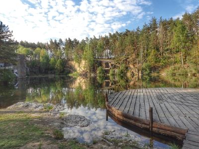
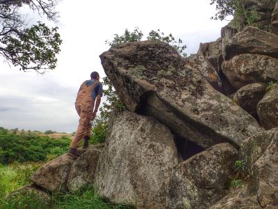
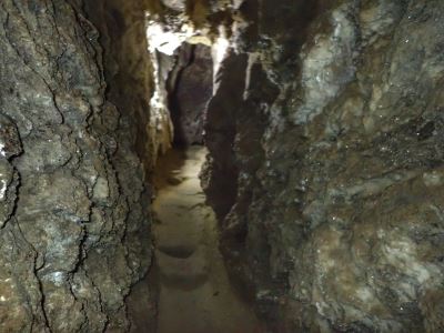
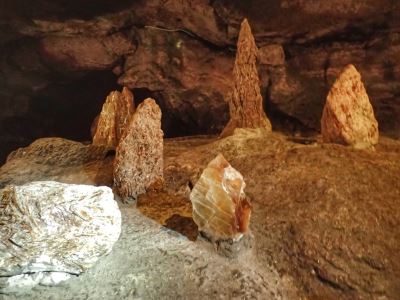
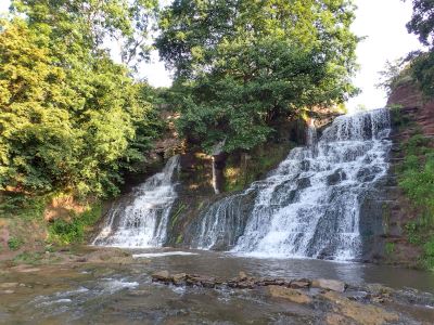
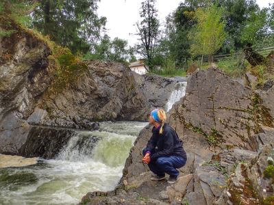
Here are some abandoned places that we discovered in Ukraine
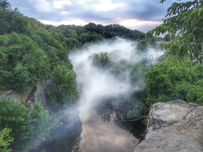
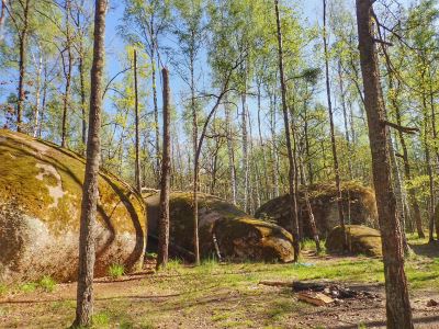
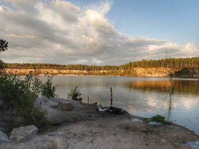
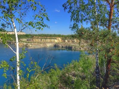
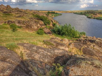
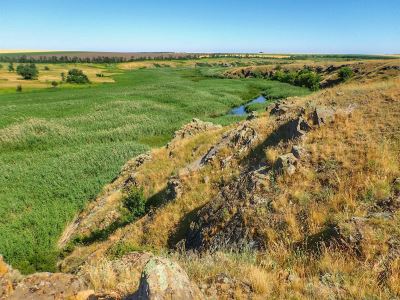
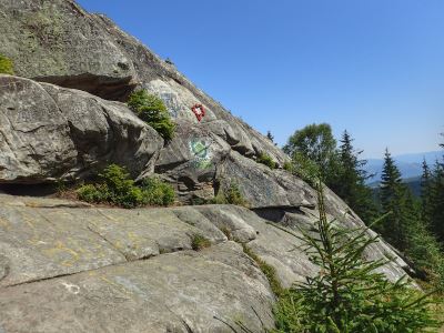
Geverla Mountain
Map
(48.163635, 24.537331)
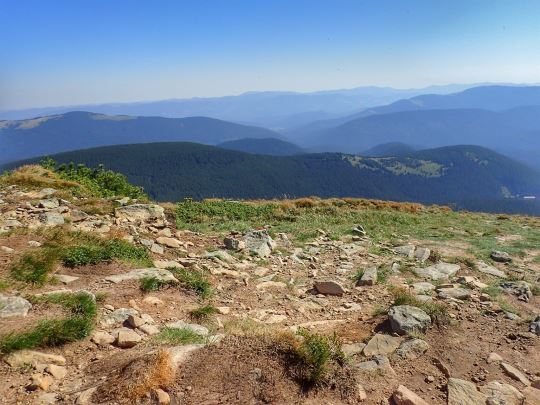
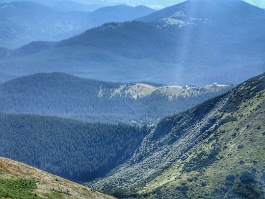
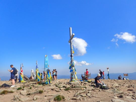
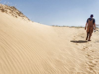
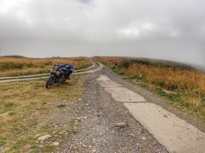
The tallest mountain in Ukraine at just over 2,000 meters. You can hike to the top of the mountain in a day no problem. Be warned the last 9km or so to get to the official starting point of the hike is very difficult on your car.
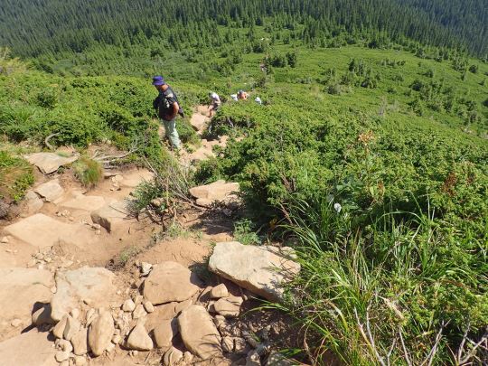
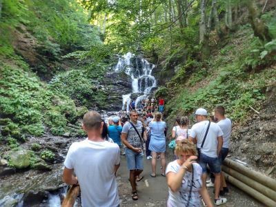
We recommend going up using the hard trail and come down using the slightly longer easy trail. The easy trail is rather difficult these days as it is used by thousands of people every year and very worn out. All told the up and down of the mountain can take between 5-7 hours depending on your shape and how long you spend at the top.
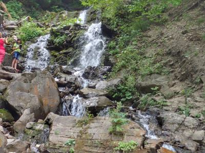
There are plenty of little shops at the official starting point to the trail where you can buy water and food but we recommend bringing your own if you can.
related attractions
Geverla Mountain
 |
Natural Sights |
 |
Castles |
 |
Churches or Monasteries |
 |
Military Related Sites |
 |
Parks |
 |
Abandoned Places |
 |
Interesting Towns |
 |
Museums |
 |
Interesting Points |
 |
Palaces and Manors |
Geverla Mountain


